


More Info
- (814) 472-2110
- Cambria County Conservation and Recreation Authority
- Path of the Flood Brochure
- Trailhead GPS Coordinates
- Interactive Maps
- Self-guided Nature Tour
Quick Notes
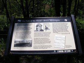
- A historical trail that offers several trailside interpretive signs.
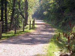
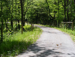
- Not a typical rail-trail, challenging in sections.
- Combines with the Staple Bend Tunnel to create an 11-mile trail.
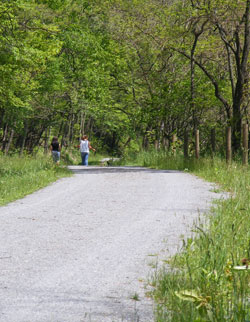

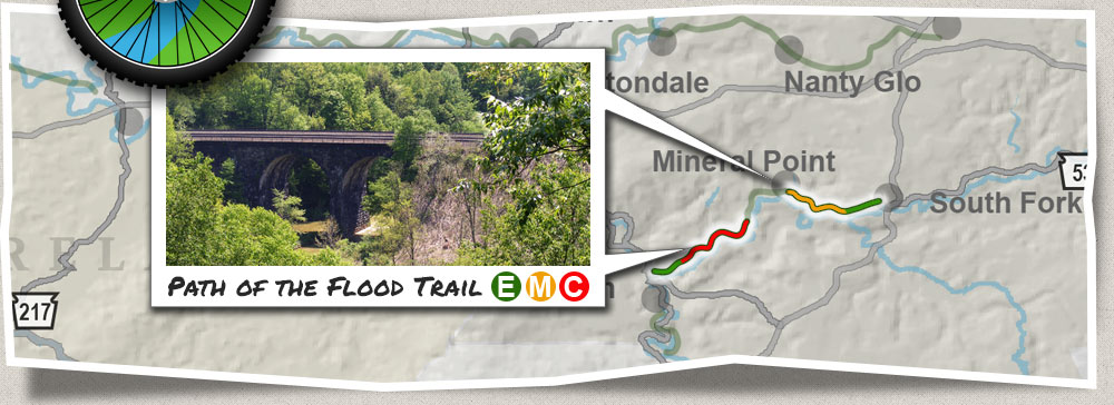
Path of the Flood
 This
historical trail enables the user to start just below the
breached South Fork Dam and follow the same watercourse that
floodwaters took in 1889, when they surged into Johnstown and
killed more than 2,000 people! The Path of the Flood provides
numerous trailside markers that tell the story and enables users
to visualize the scene within the Little Conemaugh River
valley, which remains largely unchanged more than 120 years
later. Additionally, this trail is naturally beautiful and
challenging with some steeper grades and varying trail surfaces.
This
historical trail enables the user to start just below the
breached South Fork Dam and follow the same watercourse that
floodwaters took in 1889, when they surged into Johnstown and
killed more than 2,000 people! The Path of the Flood provides
numerous trailside markers that tell the story and enables users
to visualize the scene within the Little Conemaugh River
valley, which remains largely unchanged more than 120 years
later. Additionally, this trail is naturally beautiful and
challenging with some steeper grades and varying trail surfaces.
 Trail
Description
Trail
Description
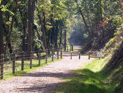
The Path of the Flood offers an 11-mile bicycle ride that’s both intellectually and physically satisfying. A four-mile section from the trailhead in Ehrenfeld to Mineral Point offers scenic views, educational trailside markers and moderately challenging slopes when riding eastward. Below Mineral Point and the two-mile Staple Bend Tunnel Trail, bicyclists will be challenged with steep grades for one mile. Following another mile on more-level dedicated trail to a hillside park above Franklin, the rider will finish with three miles on public streets before reaching the Path’s terminus at the Johnstown Flood Museum.
Trailheads
View Path of the Flood Trail in a larger map
Trail Challenges
- There is a moderate grade between Mineral Point and Ehrenfeld and short but steep grades between the Staple Bend Tunnel and Franklin.
- The trail surface for one mile below the tunnel is packed earth.
- To reach the Johnstown Flood Museum, the bicyclist must travel three miles on city streets.